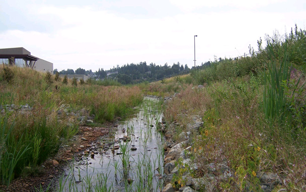
Marlim Ecological Consulting has completed numerous Sensitive Habitat Inventory Mapping (SHIM) projects from 2004 to 2010. The projects involved the use of a TrimbleGPS unit to map all of the watercourses. Additional information collected during the course of the projects included channel morphology and geometry, bankfull measurements, wetted width and depth, basic water quality, fish habitat values, riparian vegetation, bank stability, and land use data. In addition, obstructions to fish migration were recorded. Fish sampling using electrofishing and Gee minnow trapping was also done in order to accurately classify watercourses. Data was processed using either AutoCAD 2002 or ArcGIS 9.2.
The purpose of the projects was to determine the extent of habitat values and fisheries use in the watercourses surveyed, and to confirm or assign stream codes. Stream centerline mapping was used to verify stream locations, and identify unmapped watercourses.
Project Team: A senior biologist conducted the preliminary overview, and oversaw all stages of the projects. A team of one biologist and one technician completed all field work and report writing. All reports were signed off by a Senior Biologist.
Project deliverables: Final report package included a description of each stream surveyed, description of habitat features, barriers, obstructions and sensitive habitat, as well as maps and photographs. A map book was also produced using ArcGIS software. The map book included a series of map tiles for the entire area surveyed.
Thanks for reading, make sure you subscribe to our youtube channel for more info and videos!


