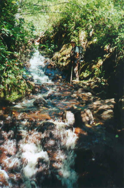
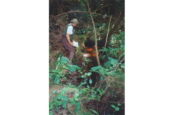
MarLim was responsible for determining the extent of fish presence/absence as well as collecting stream width measurements in the study area. Prior to the stream sampling, MarLim conducted historic fisheries data research, reviewed maps, and overflew the sites in helicopter to assess potential fish barriers and habitat features. Following this initial assessment, the sites were then classified by using the Backpack Electrofishing sampling technique. Detailed Stream Classification reports, including maps and photos were prepared for each area/stream sampled.
Project Team: A senior biologist and biologist/technician worked together to complete initial data research and field work. All reports were signed off by a Senior Biologist.
Project deliverables: Detailed reports which included new Riparian Classifications, photo logs, data for water quality and physical stream attributes, and AutoCAD and/or GIS maps.